
3D MODEL OF BRNO


Web application shows a 3D model of the city of Brno at the level of detail 2 (LOD2).
The application contains detailed 3D model of buildings, which covers the whole city (over 107,000 objects) and which was created from aerial photographs by using stereophotogrammetric method. This model was created by TopGis, s. r. o.
The whole dataset is available for download in various formats here , and for free use. If you prefer to download just predefined chosen area on the other hand, please use this here.
The scene also includes a 3D model of trees which is based on urban greenery data and the digital terrain model developed by TopGis s. r. o. in 2019 serves as the base elevation
The application has been optimised for the current versions of Google Chrome and Mozilla Firefox (with WebGL support). It is recommended to run the application with a graphic card with a minimum memory of 2 GB and a high-quality internet connection as the web scene’s rendering speed depends on these parameters. If you do not see the 3D model of buildings in the scene, please try opening the application in another web browser.
The web application is built on the ESRI platform and its administrator is the Brno City Chief Architect’s Office (KAM).
The original application of a 3D model of the city of Brno at the level of detail 1 (LOD1) from 2017 is available here.

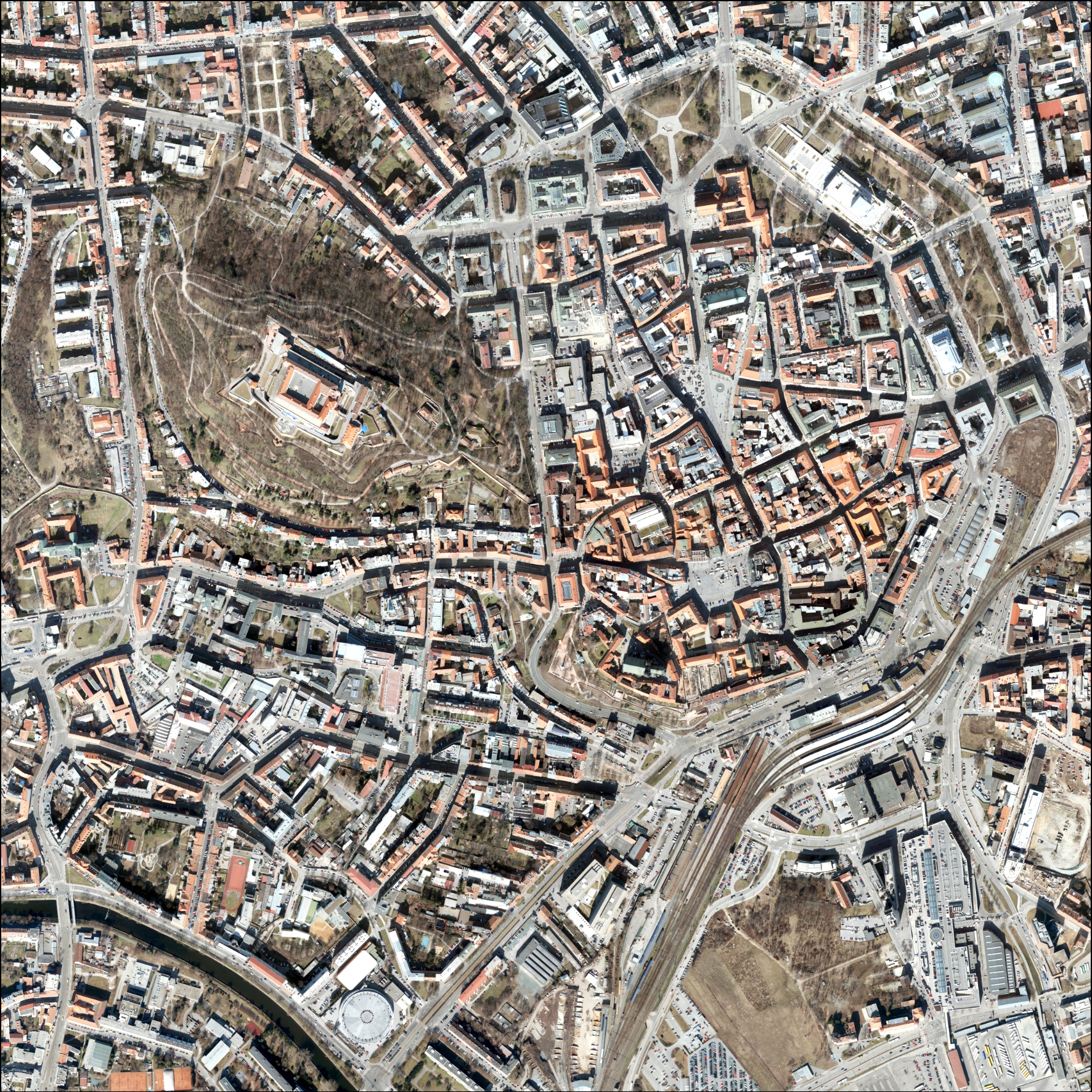
Imagery (Brno)

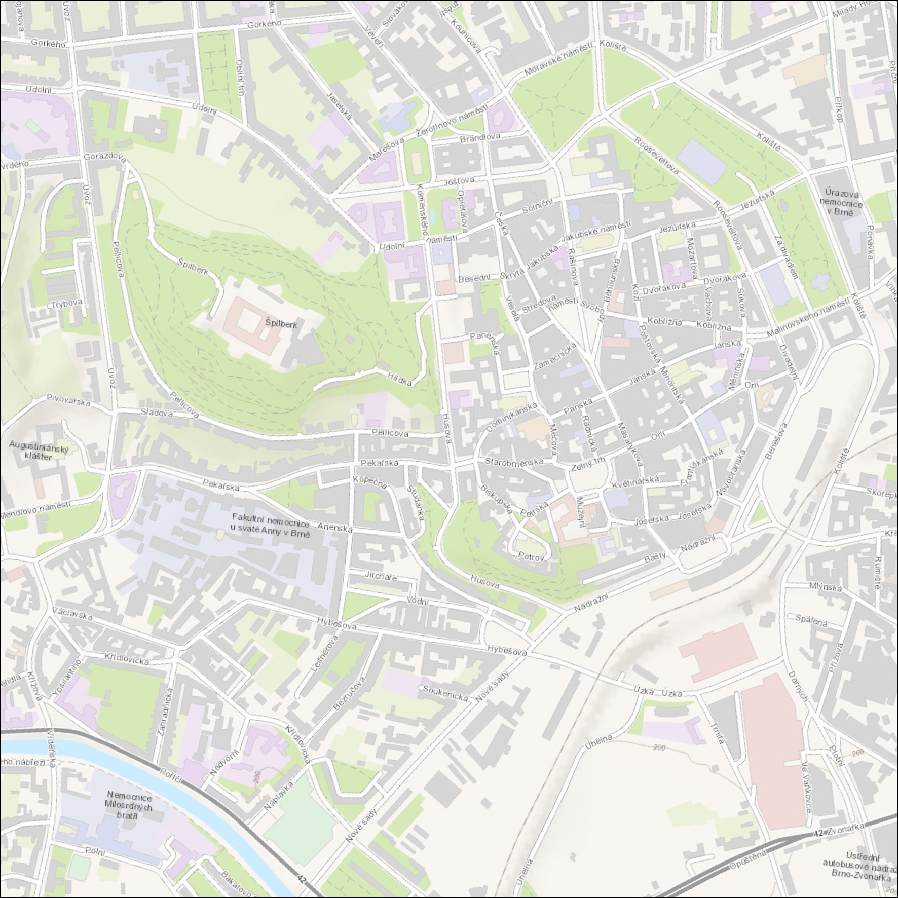
Topographic

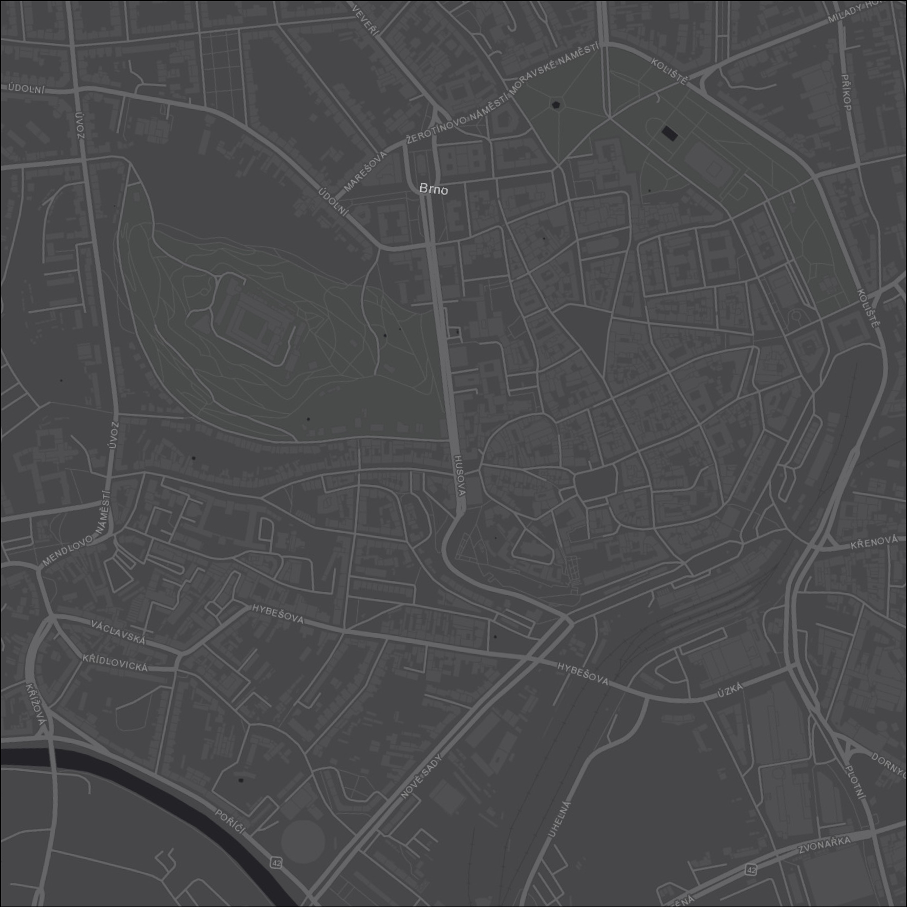
Grey canvas